
Coming soon!
Instead of this image, we will publish here shortly an interactive map that provides geo-referenced information on tree mortality events that have been documented in peer reviewed publications over the last ~50 years. In addition, we will provide a functionality that allows signalling of new mortality events via an online entry tool.
Please stay tuned!
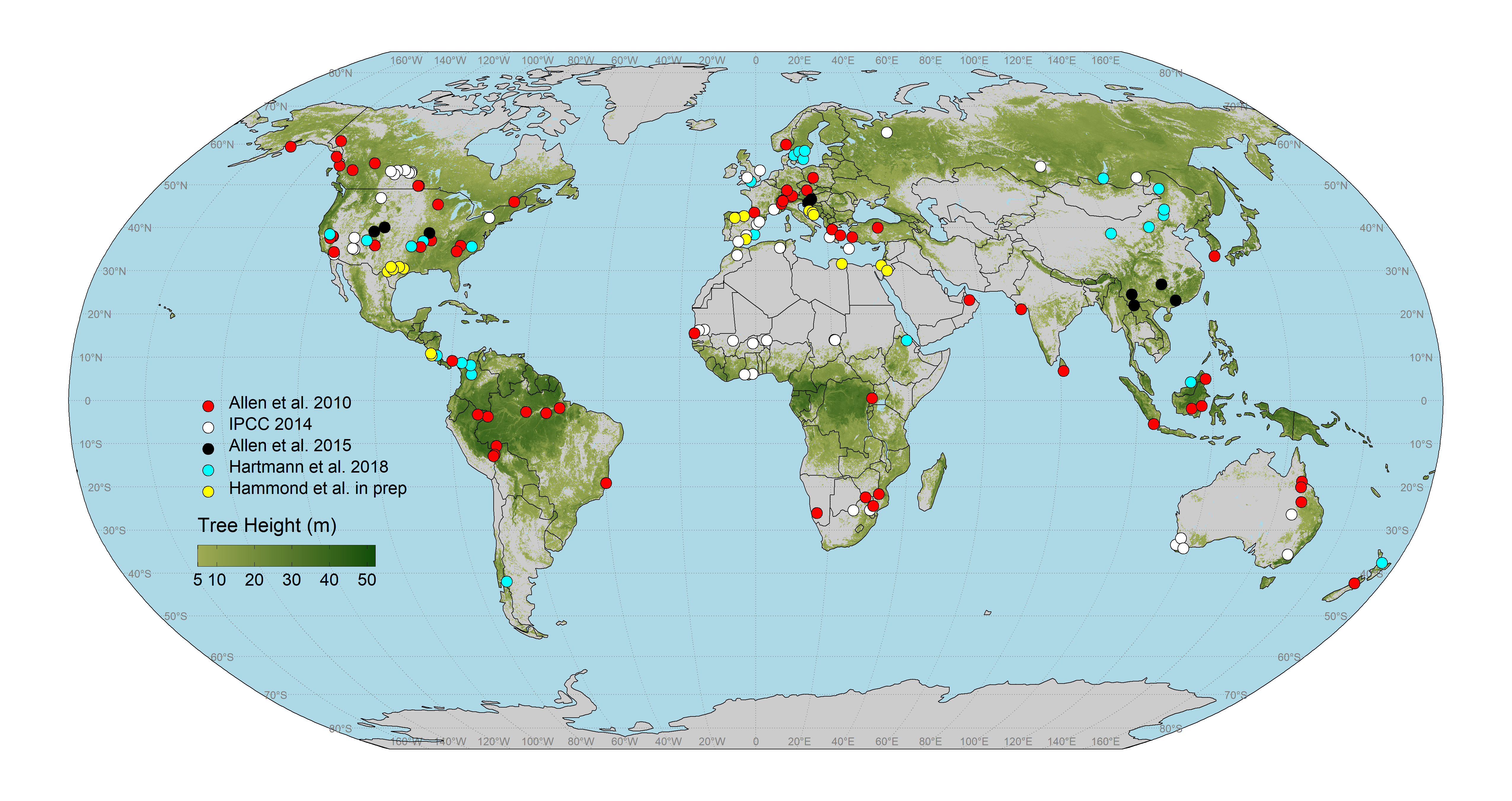
Global map of documented tree mortality events related to drought and hotter temperatures. Events taken from Allen et al. 2010, IPCC 2014, Allen et al. 2015, Hartmann et al. 2018, Hammond et al. in preparation. The map currently is being populated with ~1000 precisely georeferenced research plots that document these mortality events by William Hammond. Tree height data are from Simard et al., 2011.